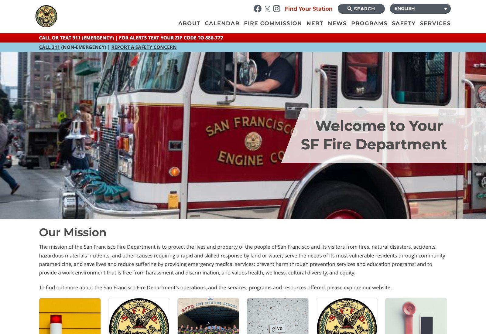
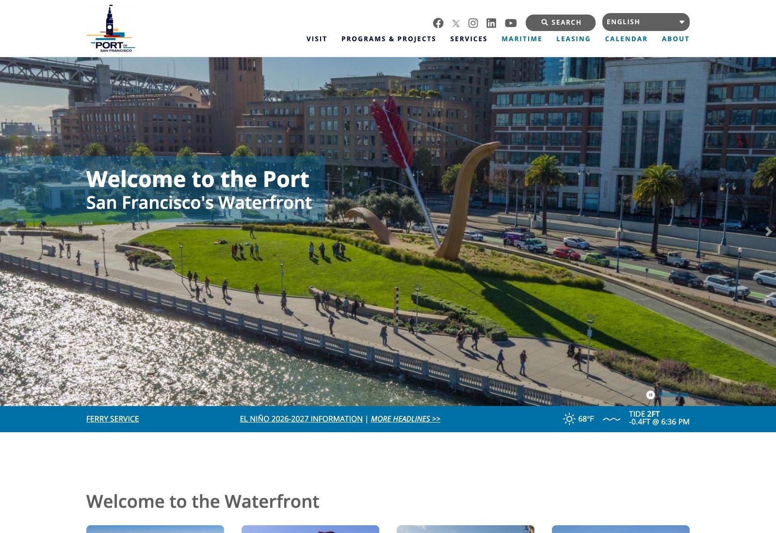
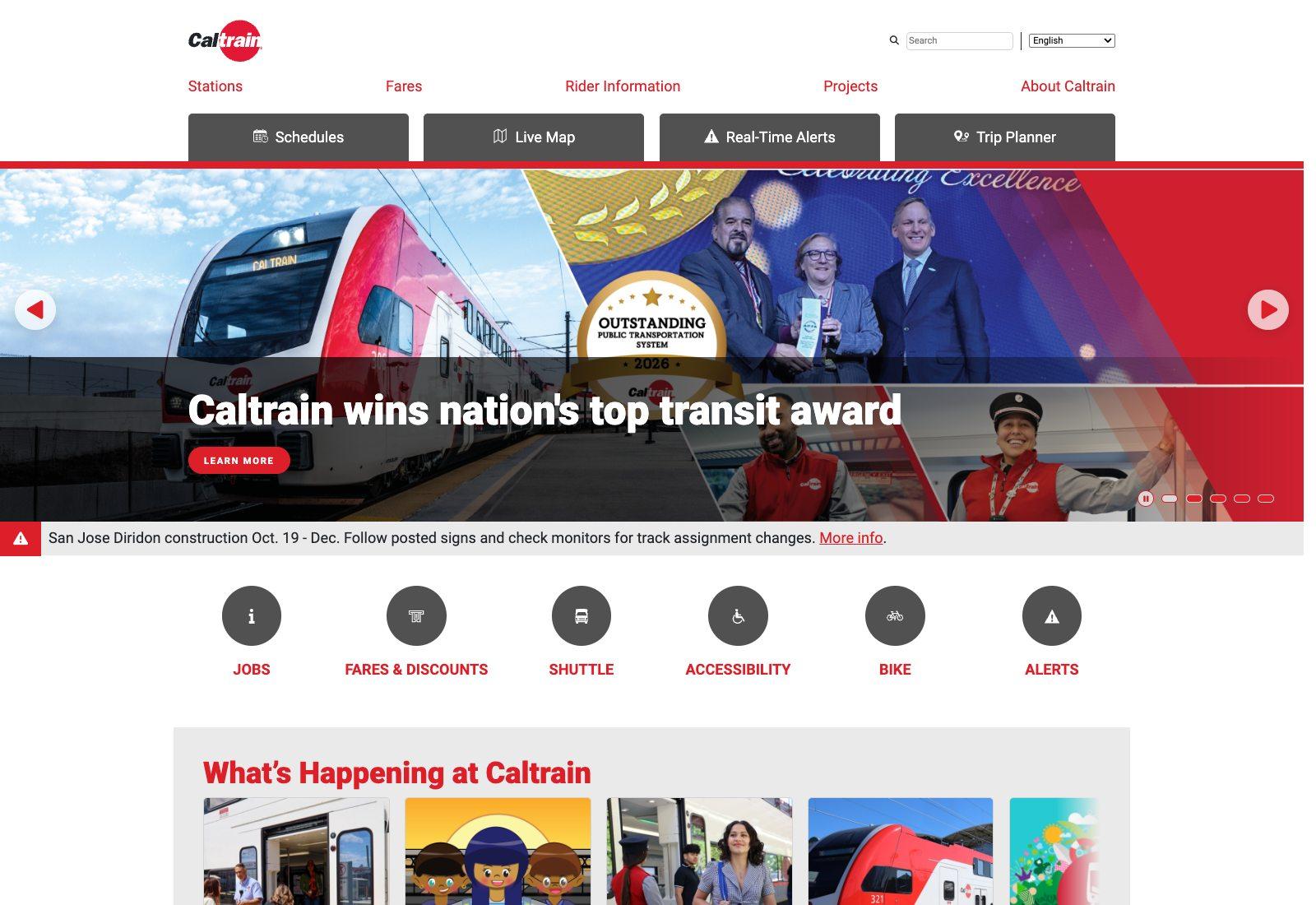
OpenStreetMap supplies geographic data that can be connected with an organization's own records. We use it in work involving waterfront places and businesses, fire stations and cisterns, and transit information. Our Drupal integration keeps geographic records connected to editable content, while a separate map renderer presents them to visitors. Useful location information should remain available beyond the map itself.